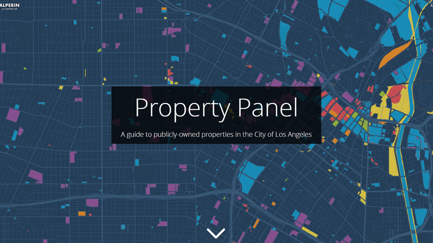
L.A. Controller Ron Galperin released Property Panel, an online, interactive tool that maps 14,000 publicly-owned properties located within the City of Los Angeles — 7,500 of which are owned by the City itself. Available at lacontroller.org/propertypanel, Property Panel provides the public with information that could help put government properties to better use. Galperin aims to spur innovative ideas that create new economic development, affordable and homeless housing, revenue generation and other opportunities to improve communities.
Property Panel builds on the work Galperin’s office has done since 2017, when he released a map of City-owned properties. The new version — built with Esri mapping software and data from the L.A. County Assessor’s office — has an upgraded look and expands the scope by including all City-owned properties plus those owned by five other major government entities: the County of Los Angeles, LA Metro, the State of California and the federal government. Property Panel employs a color-coded system to delineate which government or public agency owns each property, and provides the property’s location, size and name.
Users can search the map by typing in an address to find public properties nearby and also scroll through data dashboards that filter properties by Congressional, State Senate, State Assembly, County Board of Supervisors and City Council districts, and by Neighborhood Council boundaries.
Explore Galperin’s Property Panel at lacontroller.org/propertypanel.
Follow L.A. Controller Ron Galperin at @LAController on Twitter, Facebook and Instagram.
